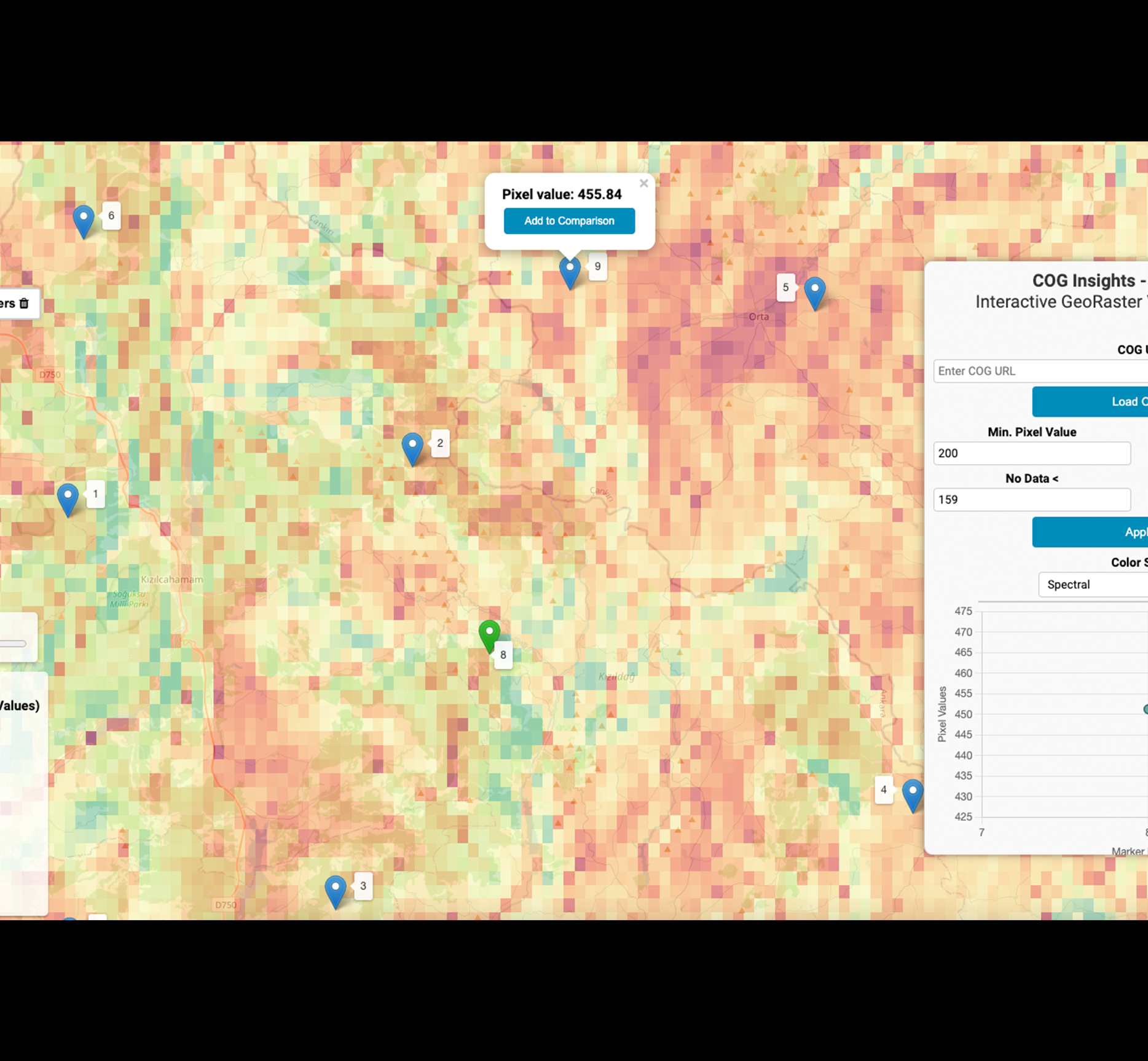
A Cloud-Optimized GeoTIFF (COG) visualization and analysis library
"cog-insights"
23.01.2024
An HTML, CSS and Javascript powered library with various features

23.01.2024
An HTML, CSS and Javascript powered library with various features
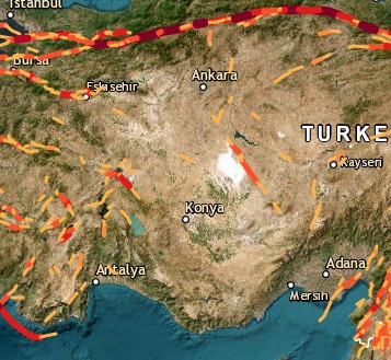
05.03.2023
Shorthest Distance with Turf.js
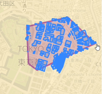
2.4.2021
PostGIS on AWS RDS, Flask, Javascript,OSM,Highcharts, Render
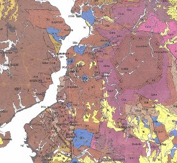
16.10.2019
A leaflet based map with raster tiles
19.5.2019
A walkthrough to help building free/low-cost web Geo-Spatial Stack on the cloud (AWS)
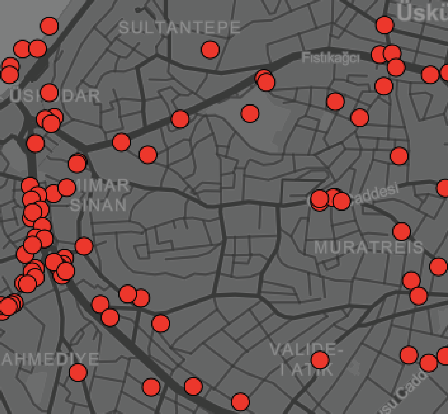
A specifically adapted Mapbox GL JS example to render and search data based on existing view .
3.3.2020
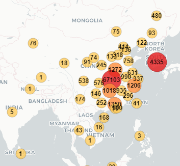
Daily updated interactive map

A leaflet.js based interactive map utilizing geojson data of Turkey's election
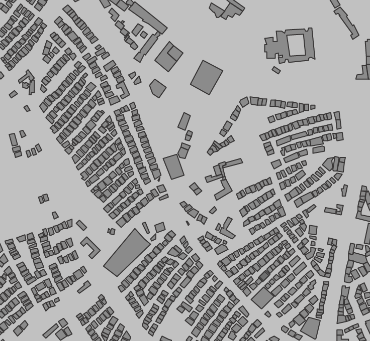
A map with various basic functionalities and plugins created for Leaflet
Filtering GeoJson data represented in marker clusters
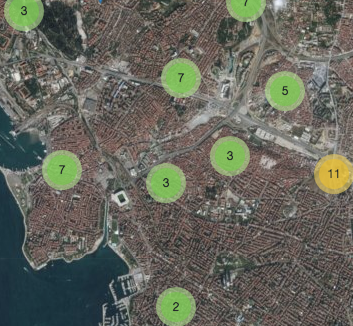
A simple map showing clustered point data stored in PostGIS and then rendered in Geoserver in Jsonp/WFS format

A heatmap for Unesco World Heritage Sites